
Precision Agriculture: How Multispectral Imaging is Revolutionizing Farming
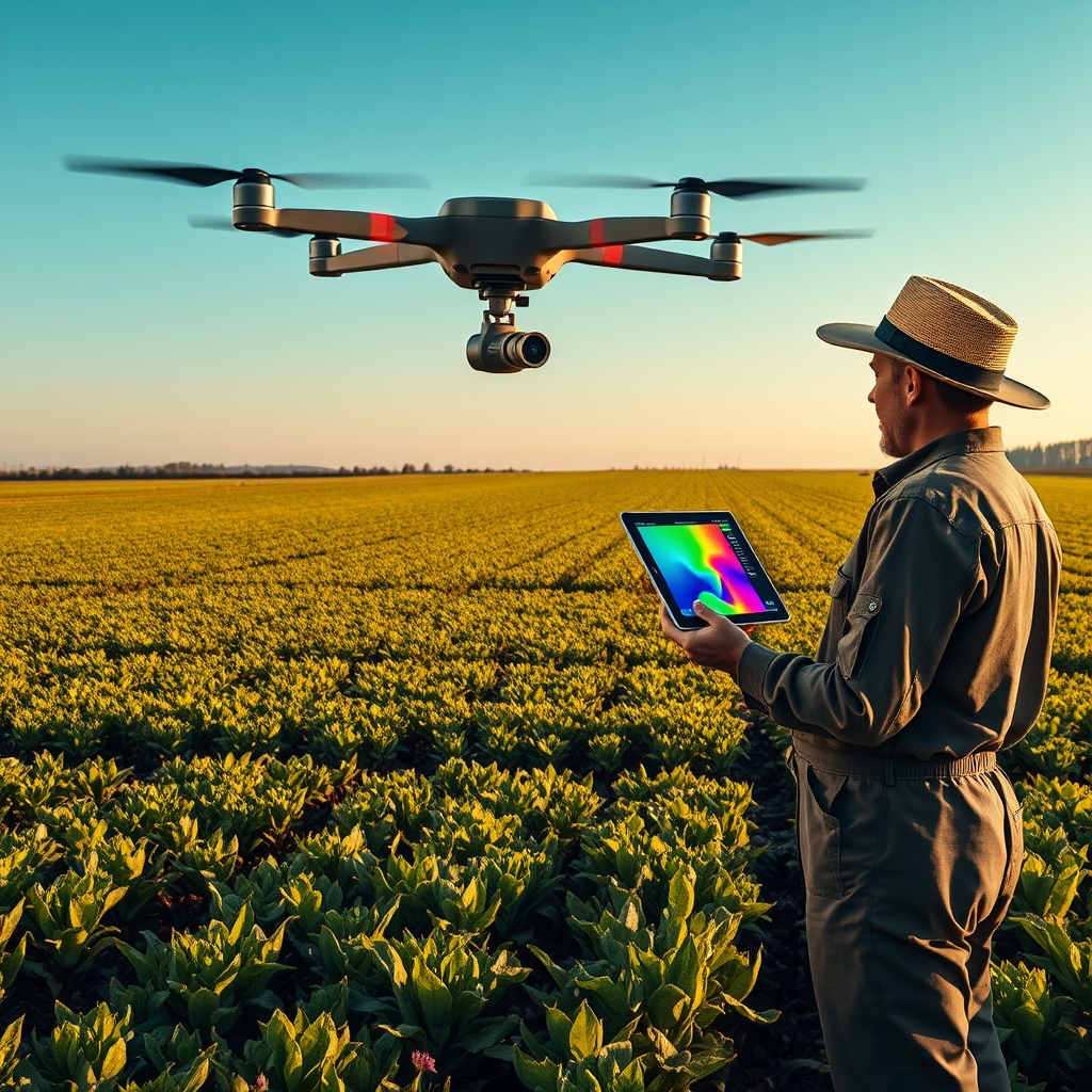
In an era where technology and agriculture intersect more than ever, farmers are turning to advanced tools to meet the growing demand for food while facing challenges like climate change, water scarcity, and soil degradation. Among these tools, multispectral imaging stands out as a game-changer, offering unprecedented insights into crop health, resource management, and yield optimization. By capturing data beyond the visible spectrum, this technology is transforming how farmers approach their craft, making agriculture smarter, more efficient, and sustainable.
The Science Behind Multispectral Imaging
Multispectral imaging involves capturing light across specific wavelengths, including those invisible to the human eye, such as near-infrared (NIR) and red-edge bands. These wavelengths reveal critical information about plant health that traditional methods cannot. For example, healthy vegetation reflects more NIR light, while stressed or diseased plants absorb it differently. By analyzing these reflections, farmers can detect issues like nutrient deficiencies, pest infestations, or water stress long before they become visible to the naked eye.
This technology works by equipping drones, satellites, or handheld devices with specialized sensors that capture images in multiple spectral bands. The data is then processed using software that generates vegetation indices, such as the Normalized Difference Vegetation Index (NDVI), which quantifies plant health and vigor. These indices provide actionable insights, allowing farmers to make data-driven decisions about irrigation, fertilization, and pest control.
Real-World Applications and Case Studies
The impact of multispectral imaging is already being felt across the globe, with farmers and agribusinesses reaping the benefits of this technology. In California’s Central Valley, a region known for its vast almond orchards, farmers have adopted multispectral imaging to monitor water stress in their trees. By identifying areas where trees are under stress, they can adjust irrigation schedules, reducing water usage by up to 20% while maintaining or even increasing yields. This not only conserves a precious resource but also cuts costs and improves profitability.
In Brazil, soybean farmers are using multispectral imaging to combat pests and diseases more effectively. By detecting early signs of infestations, such as soybean rust, farmers can apply targeted treatments rather than resorting to blanket spraying. This reduces the use of pesticides, lowers costs, and minimizes environmental impact. One study found that farms using multispectral imaging reduced pesticide use by 30% while achieving a 10% increase in yield.
Another compelling case comes from vineyards in France, where winemakers are leveraging multispectral imaging to monitor grapevine health. By analyzing the spectral data, they can identify variations in vine vigor, which directly impacts grape quality. This allows them to implement precision viticulture practices, such as selective harvesting, to produce higher-quality wines. The result is not only better-tasting wine but also more sustainable vineyard management.
Drones vs. Satellites: Choosing the Right Tool
Multispectral imaging can be deployed using drones or satellites, each with its own advantages and limitations. Drones are ideal for small to medium-sized farms, offering high-resolution imagery and the flexibility to fly on demand. They can capture detailed data at a low altitude, making them perfect for detecting subtle variations in crop health. However, drones have limited coverage and require skilled operators, which can be a barrier for some farmers.
Satellites, on the other hand, provide broader coverage and are better suited for large-scale farms or regions with vast agricultural lands. They can capture data over entire fields or even countries, making them invaluable for monitoring large-scale trends. However, satellite imagery often has lower resolution compared to drones, and cloud cover can interfere with data collection. Additionally, satellites follow fixed orbits, meaning farmers may not always have access to real-time data when they need it.
For many farmers, the best approach is a combination of both technologies. Drones can be used for detailed, on-demand monitoring of specific areas, while satellites provide a broader overview of crop health across the entire farm. This hybrid approach ensures that farmers have the most comprehensive and actionable data at their fingertips.
The Future of Multispectral Imaging in Agriculture
As technology continues to evolve, the capabilities of multispectral imaging are expanding. Advances in sensor technology are making these systems more affordable and accessible to farmers of all sizes. For example, newer multispectral cameras are smaller, lighter, and more sensitive, allowing them to capture even more detailed data. Additionally, the integration of artificial intelligence (AI) and machine learning is enabling faster and more accurate analysis of the data, providing farmers with real-time insights and predictive analytics.
One exciting development is the rise of hyperspectral imaging, which captures data across hundreds of spectral bands. While multispectral imaging provides a snapshot of plant health, hyperspectral imaging offers a more detailed and nuanced view, allowing farmers to detect even the earliest signs of stress or disease. Although still in its early stages, hyperspectral imaging has the potential to revolutionize precision agriculture even further.
Another trend is the increasing use of multispectral imaging in conjunction with other technologies, such as Internet of Things (IoT) sensors and autonomous farming equipment. For example, IoT sensors can monitor soil moisture and temperature, while multispectral imaging provides data on plant health. Together, these technologies create a comprehensive picture of the farm, enabling farmers to optimize every aspect of their operations.
Overcoming Challenges and Barriers
Despite its many benefits, the adoption of multispectral imaging in agriculture is not without challenges. One of the biggest barriers is the cost of the technology, which can be prohibitive for small-scale farmers. However, as the technology becomes more widespread, prices are expected to drop, making it more accessible to all farmers. Additionally, government grants and subsidies are helping to offset the costs for those who want to adopt these tools.
Another challenge is the need for training and education. Multispectral imaging requires a certain level of technical expertise to operate and interpret the data. Farmers and agricultural professionals need access to training programs and resources to fully leverage the technology. Fortunately, many companies and organizations are stepping up to provide this education, offering workshops, online courses, and hands-on training to help farmers get up to speed.
The potential of multispectral imaging to transform agriculture is undeniable. By providing farmers with detailed, real-time data on crop health, this technology is enabling more precise and sustainable farming practices. As the world’s population continues to grow, the demand for food will only increase, and technologies like multispectral imaging will play a crucial role in meeting this demand. Whether it’s optimizing water usage, reducing pesticide use, or increasing yields, multispectral imaging is helping farmers work smarter, not harder, ensuring a more sustainable and productive future for agriculture. The fields of tomorrow are being shaped today, one spectral band at a time.